
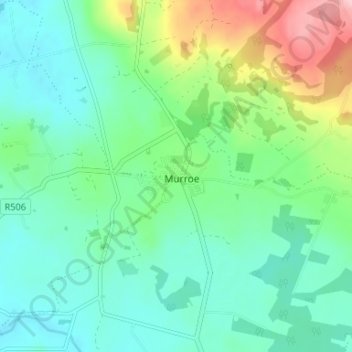
Glenstal topographic map
Interactive map
Click on the map to display elevation.
About this map
Name: Glenstal topographic map, elevation, terrain.
Location: Glenstal, Murroe, County Limerick, Munster, Ireland (52.62976 -8.42060 52.66976 -8.38060)
Average elevation: 77 m
Minimum elevation: 32 m
Maximum elevation: 201 m