
Thank you for supporting this site ❤️
Make a donation
Make a donation
Bajwad topographic map
Click on the map to display elevation.
Thank you for supporting this site ❤️
Make a donation
Make a donation
About this map
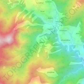
Name: Bajwad topographic map, elevation, terrain.
Location: Bajwad, Garud, Bageshwar District, Uttarakhand, India (29.95259 79.49499 29.99259 79.53499)
Average elevation: 1,755 m
Minimum elevation: 1,378 m
Maximum elevation: 2,276 m
Thank you for supporting this site ❤️
Make a donation
Make a donation
Other topographic maps
Click on a map to view its topography, its elevation and its terrain.