
Isla de Oleny topographic map
Interactive map
Click on the map to display elevation.
About this map
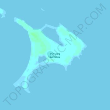
Name: Isla de Oleny topographic map, elevation, terrain.
Average elevation: 0 m
Minimum elevation: -1 m
Maximum elevation: 5 m
Other topographic maps
Click on a map to view its topography, its elevation and its terrain.
Isla Kolguev
Isla Kolguev, Заполярный район, Nenetsia, Северо-Западный федеральный округ, Rusia
Average elevation: 27 m