
Gray topographic map
Interactive map
Click on the map to display elevation.
About this map
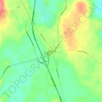
Name: Gray topographic map, elevation, terrain.
Location: Gray, Cumberland County, Maine, 04039, USA (43.86602 -70.35173 43.90602 -70.31173)
Average elevation: 87 m
Minimum elevation: 48 m
Maximum elevation: 146 m