
Thank you for supporting this site ❤️
Make a donation
Make a donation
Birmingham topographic map
Click on the map to display elevation.
Thank you for supporting this site ❤️
Make a donation
Make a donation
About this map
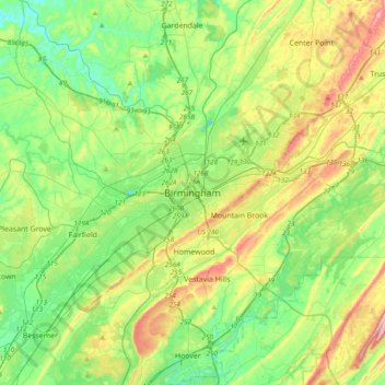
Name: Birmingham topographic map, elevation, terrain.
Location: Birmingham, Jefferson County, Alabama, 35202, United States (33.36068 -86.96243 33.68068 -86.64243)
Average elevation: 199 m
Minimum elevation: 91 m
Maximum elevation: 433 m
Thank you for supporting this site ❤️
Make a donation
Make a donation