
Thank you for supporting this site ❤️
Make a donation
Make a donation
The Bays topographic map
Click on the map to display elevation.
Thank you for supporting this site ❤️
Make a donation
Make a donation
About this map
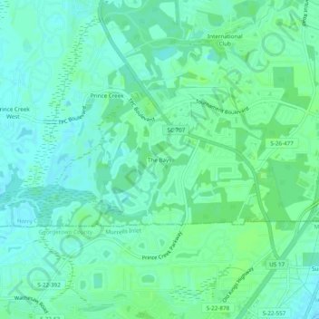
Name: The Bays topographic map, elevation, terrain.
Location: The Bays, Horry County, South Carolina, 29576, United States (33.55976 -79.07291 33.59976 -79.03291)
Average elevation: 5 m
Minimum elevation: -1 m
Maximum elevation: 9 m
Thank you for supporting this site ❤️
Make a donation
Make a donation
Other topographic maps
Click on a map to view its topography, its elevation and its terrain.