
Thank you for supporting this site ❤️
Make a donation
Make a donation
Pimbura topographic map
Click on the map to display elevation.
Thank you for supporting this site ❤️
Make a donation
Make a donation
About this map
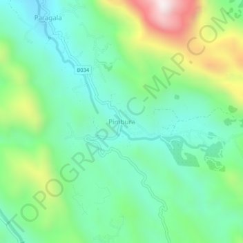
Name: Pimbura topographic map, elevation, terrain.
Location: Pimbura, Ratnapura District, Sabaragamuwa Province, Sri Lanka (6.56172 80.33456 6.60172 80.37456)
Average elevation: 317 m
Minimum elevation: 68 m
Maximum elevation: 902 m
Thank you for supporting this site ❤️
Make a donation
Make a donation