
Gemeinde Lochau topographic map
Interactive map
Click on the map to display elevation.
About this map
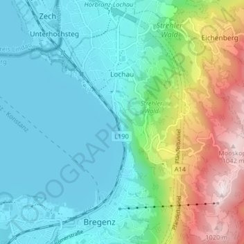
Name: Gemeinde Lochau topographic map, elevation, terrain.
Location: Gemeinde Lochau, Bezirk Bregenz, Vorarlberg, 6911, Oostenrijk (47.49904 9.73824 47.54248 9.80383)
Average elevation: 556 m
Minimum elevation: 391 m
Maximum elevation: 1,055 m