
San Bernardo de Chiguata topographic map
Interactive map
Click on the map to display elevation.
About this map
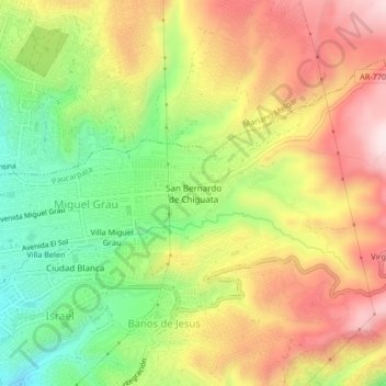
Name: San Bernardo de Chiguata topographic map, elevation, terrain.
Average elevation: 2,685 m
Minimum elevation: 2,454 m
Maximum elevation: 2,919 m