
Tadia topographic map
Interactive map
Click on the map to display elevation.
About this map
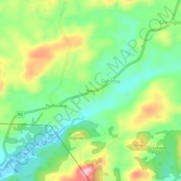
Name: Tadia topographic map, elevation, terrain.
Location: Tadia, Faranah, Guinea (8.89667 -10.15333 8.93667 -10.11333)
Average elevation: 537 m
Minimum elevation: 467 m
Maximum elevation: 652 m