
Rejas topographic map
Interactive map
Click on the map to display elevation.
About this map
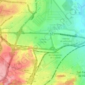
Name: Rejas topographic map, elevation, terrain.
Average elevation: 617 m
Minimum elevation: 563 m
Maximum elevation: 690 m
Other topographic maps
Click on a map to view its topography, its elevation and its terrain.
Chamartín
España > Comunidad de Madrid > Madrid
Chamartín, Madrid, Área metropolitana de Madrid y Corredor del Henares, Comunidad de Madrid, 28001, España
Average elevation: 711 m