
Jaggayyapeta topographic map
Interactive map
Click on the map to display elevation.
About this map
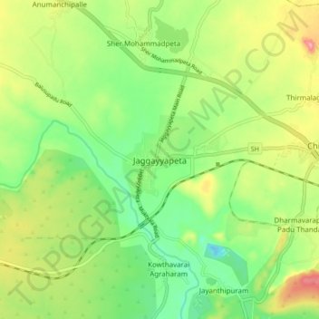
Name: Jaggayyapeta topographic map, elevation, terrain.
Location: Jaggayyapeta, Krishna, Andhra Pradesh, 521175, India (16.85301 80.05865 16.93301 80.13865)
Average elevation: 62 m
Minimum elevation: 13 m
Maximum elevation: 134 m