
Thank you for supporting this site ❤️
Make a donation
Make a donation
Kusatsu topographic map
Click on the map to display elevation.
Thank you for supporting this site ❤️
Make a donation
Make a donation
About this map
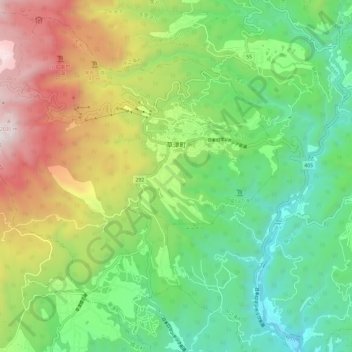
Name: Kusatsu topographic map, elevation, terrain.
Location: Kusatsu, Agatsuma County, Gunma Prefecture, Japan (36.56744 138.51183 36.65636 138.63041)
Average elevation: 1,171 m
Minimum elevation: 626 m
Maximum elevation: 2,132 m
Thank you for supporting this site ❤️
Make a donation
Make a donation