
Harohalli topographic map
Interactive map
Click on the map to display elevation.
About this map
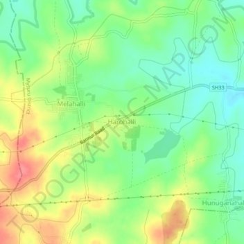
Name: Harohalli topographic map, elevation, terrain.
Location: Harohalli, Mysuru taluk, Mysuru District, Karnataka, India (12.30050 76.76067 12.34050 76.80067)
Average elevation: 699 m
Minimum elevation: 669 m
Maximum elevation: 740 m
Other topographic maps
Click on a map to view its topography, its elevation and its terrain.