
Hinterland topographic map
Interactive map
Click on the map to display elevation.
About this map
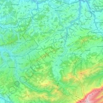
Name: Hinterland topographic map, elevation, terrain.
Location: Hinterland, Appenzello Esterno, Svizzera (47.24702 9.19109 47.40131 9.36535)
Average elevation: 992 m
Minimum elevation: 610 m
Maximum elevation: 2,479 m
Other topographic maps
Click on a map to view its topography, its elevation and its terrain.
Vorderland
Vorderland, Appenzello Esterno, Svizzera
Average elevation: 718 m