
အစူးချောင်း topographic map
Interactive map
Click on the map to display elevation.
About this map
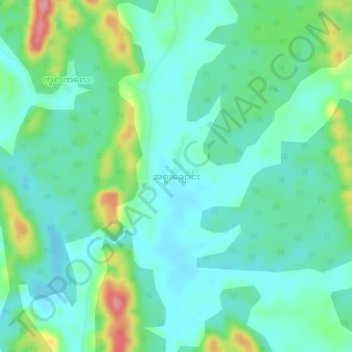
Name: အစူးချောင်း topographic map, elevation, terrain.
Location: အစူးချောင်း, ဘီးလင်း, Thaton District, État Môn, Birmanie (17.48229 97.25044 17.52229 97.29044)
Average elevation: 44 m
Minimum elevation: 16 m
Maximum elevation: 125 m