
Bandung Baru topographic map
Interactive map
Click on the map to display elevation.
About this map
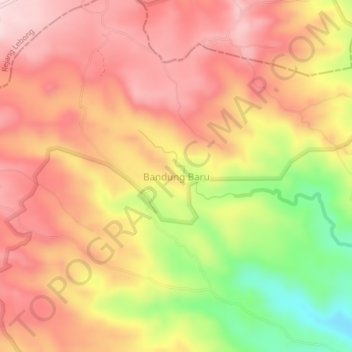
Name: Bandung Baru topographic map, elevation, terrain.
Location: Bandung Baru, Kepahiang, Bengkulu, Sumatra, Indonésie (-3.58407 102.68714 -3.54407 102.72714)
Average elevation: 1,015 m
Minimum elevation: 819 m
Maximum elevation: 1,134 m