
Bossonnens topographic map
Interactive map
Click on the map to display elevation.
About this map
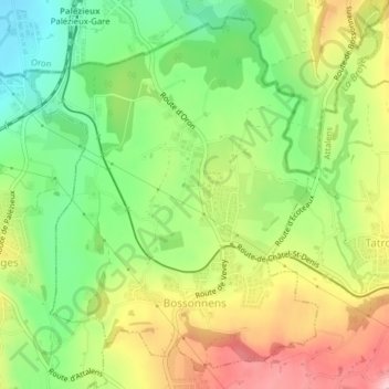
Name: Bossonnens topographic map, elevation, terrain.
Location: Bossonnens, District de la Veveyse, Friburgo, 1615, Suiza (46.51692 6.83228 46.54154 6.86196)
Average elevation: 722 m
Minimum elevation: 634 m
Maximum elevation: 832 m