
Detva topographic map
Interactive map
Click on the map to display elevation.
About this map
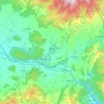
Name: Detva topographic map, elevation, terrain.
Average elevation: 557 m
Minimum elevation: 290 m
Maximum elevation: 1,316 m
Other topographic maps
Click on a map to view its topography, its elevation and its terrain.
Stará Huta
Slovakia > Region of Banská Bystrica > District of Detva > Stará Huta > Stará Huta
Stará Huta, District of Detva, Region of Banská Bystrica, Central Slovakia, 962 25, Slovakia
Average elevation: 731 m