
Loilem topographic map
Interactive map
Click on the map to display elevation.
About this map
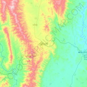
Name: Loilem topographic map, elevation, terrain.
Location: Loilem, Loilen District, South Shan State, Shan State, Myanmar (20.76332 97.40329 21.08332 97.72329)
Average elevation: 1,264 m
Minimum elevation: 923 m
Maximum elevation: 2,043 m