
Lanam topographic map
Interactive map
Click on the map to display elevation.
About this map
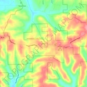
Name: Lanam topographic map, elevation, terrain.
Location: Lanam, Brown County, Indiana, 47435, USA (39.21366 -86.34749 39.25366 -86.30749)
Average elevation: 242 m
Minimum elevation: 190 m
Maximum elevation: 287 m