
Englewood topographic map
Interactive map
Click on the map to display elevation.
About this map
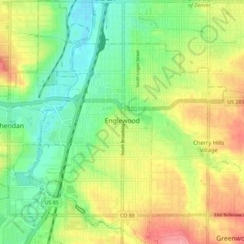
Name: Englewood topographic map, elevation, terrain.
Average elevation: 1,637 m
Minimum elevation: 1,600 m
Maximum elevation: 1,686 m
Other topographic maps
Click on a map to view its topography, its elevation and its terrain.
Englewood
États-Unis d'Amérique > Colorado > Arapahoe County > Englewood
Englewood, Arapahoe County, Colorado, 80110, États-Unis d'Amérique
Average elevation: 1,642 m