
Creswick topographic map
Click on the map to display elevation.
About this map
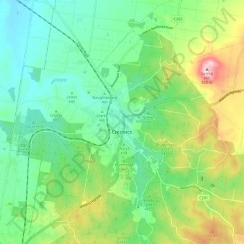
Name: Creswick topographic map, elevation, terrain.
Location: Creswick, Shire of Hepburn, Victoria, 3363, Australia (-37.46503 143.84385 -37.37722 143.95000)
Average elevation: 469 m
Minimum elevation: 376 m
Maximum elevation: 671 m
Other topographic maps
Click on a map to view its topography, its elevation and its terrain.