
Vaskhedi topographic map
Interactive map
Click on the map to display elevation.
About this map
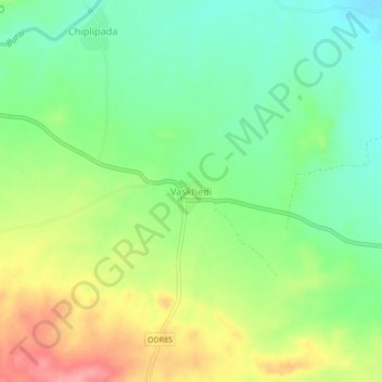
Name: Vaskhedi topographic map, elevation, terrain.
Location: Vaskhedi, Sakri Taluka, Dhule District, Maharashtra, India (21.11082 74.23599 21.15082 74.27599)
Average elevation: 506 m
Minimum elevation: 463 m
Maximum elevation: 570 m