
Catwick topographic map
Click on the map to display elevation.
About this map
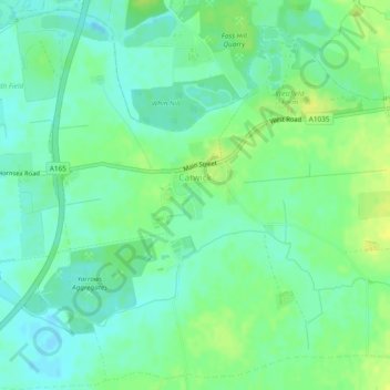
Name: Catwick topographic map, elevation, terrain.
Location: Catwick, East Riding of Yorkshire, England, United Kingdom (53.87799 -0.29965 53.90450 -0.25235)
Average elevation: 8 m
Minimum elevation: -2 m
Maximum elevation: 18 m
Other topographic maps
Click on a map to view its topography, its elevation and its terrain.
Londesborough
United Kingdom > England > East Riding of Yorkshire > Londesborough
Average elevation: 73 m