
The Plans topographic map
Interactive map
Click on the map to display elevation.
About this map
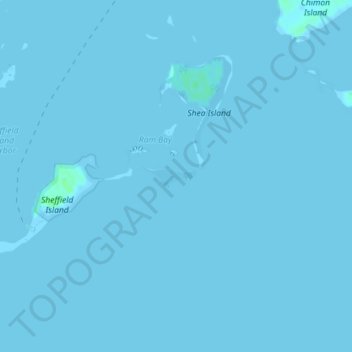
Name: The Plans topographic map, elevation, terrain.
Location: The Plans, Norwalk, Fairfield, Connecticut, USA (41.05238 -73.40856 41.05385 -73.40257)
Average elevation: 0 m
Minimum elevation: -2 m
Maximum elevation: 5 m
Other topographic maps
Click on a map to view its topography, its elevation and its terrain.