
Arakera topographic map
Interactive map
Click on the map to display elevation.
About this map
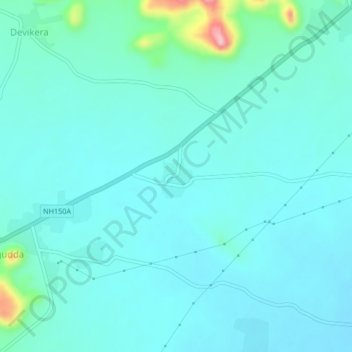
Name: Arakera topographic map, elevation, terrain.
Location: Arakera, Shorapur, Yadgir, Karnataka, 585224, India (16.51910 76.78211 16.55910 76.82211)
Average elevation: 398 m
Minimum elevation: 373 m
Maximum elevation: 548 m