
Bristow topographic map
Interactive map
Click on the map to display elevation.
About this map
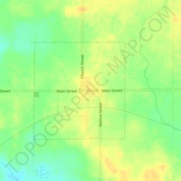
Name: Bristow topographic map, elevation, terrain.
Location: Bristow, Butler County, Iowa, Vereinigte Staaten von Amerika (42.76651 -92.91722 42.78107 -92.89866)
Average elevation: 312 m
Minimum elevation: 297 m
Maximum elevation: 323 m