
Thank you for supporting this site ❤️
Make a donation
Make a donation
Dariyah topographic map
Click on the map to display elevation.
Thank you for supporting this site ❤️
Make a donation
Make a donation
About this map
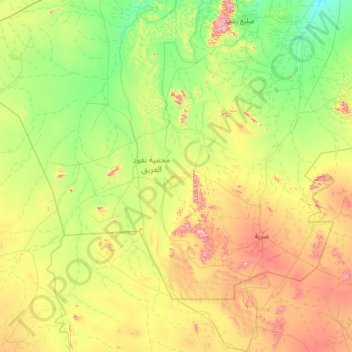
Name: Dariyah topographic map, elevation, terrain.
Location: Dariyah, Al-Qassim Province, Saudi Arabia (24.48360 42.03454 25.37786 43.45173)
Average elevation: 892 m
Minimum elevation: 713 m
Maximum elevation: 1,353 m
Thank you for supporting this site ❤️
Make a donation
Make a donation