
Schillingstedt topographic map
Interactive map
Click on the map to display elevation.
About this map
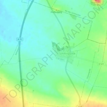
Name: Schillingstedt topographic map, elevation, terrain.
Average elevation: 151 m
Minimum elevation: 132 m
Maximum elevation: 190 m
Other topographic maps
Click on a map to view its topography, its elevation and its terrain.
Scherkonde
Deutschland > Thüringen > Sömmerda
Scherkonde, Sömmerda, Landkreis Sömmerda, Thüringen, 99625, Deutschland
Average elevation: 143 m