
Naturpark am Stettiner Haff topographic map
Interactive map
Click on the map to display elevation.
About this map
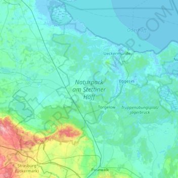
Name: Naturpark am Stettiner Haff topographic map, elevation, terrain.
Average elevation: 16 m
Minimum elevation: -4 m
Maximum elevation: 150 m