
Veruela topographic map
Interactive map
Click on the map to display elevation.
About this map
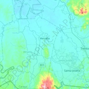
Name: Veruela topographic map, elevation, terrain.
Location: Veruela, Agusan del Sur, Caraga, 8509, Philippinen (7.93382 125.83000 8.17445 126.00048)
Average elevation: 54 m
Minimum elevation: 12 m
Maximum elevation: 514 m