
Big Horn Mountain topographic map
Interactive map
Click on the map to display elevation.
About this map
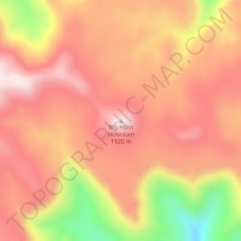
Name: Big Horn Mountain topographic map, elevation, terrain.
Location: Big Horn Mountain, Emery County, Utah, United States (39.24436 -110.11131 39.24446 -110.11121)
Average elevation: 1,756 m
Minimum elevation: 1,433 m
Maximum elevation: 1,925 m