
Ueken topographic map
Interactive map
Click on the map to display elevation.
About this map
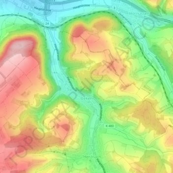
Name: Ueken topographic map, elevation, terrain.
Location: Ueken, Herznach-Ueken, Bezirk Laufenburg, Aargau, 5028, Schweiz (47.47458 8.02250 47.49874 8.07094)
Average elevation: 460 m
Minimum elevation: 357 m
Maximum elevation: 573 m