
Garade topographic map
Interactive map
Click on the map to display elevation.
About this map
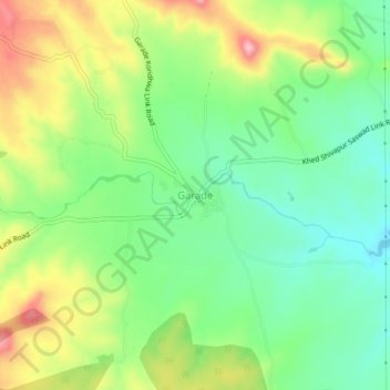
Name: Garade topographic map, elevation, terrain.
Location: Garade, Purandhar, Pune, Maharashtra, 412205, India (18.32997 73.90907 18.36997 73.94907)
Average elevation: 883 m
Minimum elevation: 821 m
Maximum elevation: 979 m
Other topographic maps
Click on a map to view its topography, its elevation and its terrain.