
Ward Hunt Island topographic map
Interactive map
Click on the map to display elevation.
About this map
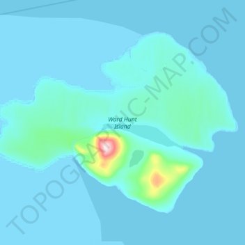
Name: Ward Hunt Island topographic map, elevation, terrain.
Location: Ward Hunt Island, ᕿᑭᖅᑖᓗᒃ Qikiqtaaluk Region, Nunavut, Canadá (83.06203 -74.65055 83.13709 -73.80983)
Average elevation: 15 m
Minimum elevation: -1 m
Maximum elevation: 435 m