
Wissigstock topographic map
Interactive map
Click on the map to display elevation.
About this map
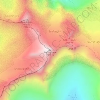
Name: Wissigstock topographic map, elevation, terrain.
Location: Wissigstock, Attinghausen, Uri, 6468, Schweiz (46.84539 8.50685 46.84549 8.50695)
Average elevation: 2,410 m
Minimum elevation: 1,833 m
Maximum elevation: 2,879 m
Other topographic maps
Click on a map to view its topography, its elevation and its terrain.
Stotzigberg
Schweiz > Uri > Attinghausen
Stotzigberg, Attinghausen, Uri, 6468, Schweiz
Average elevation: 2,163 m