
Phonepheng topographic map
Interactive map
Click on the map to display elevation.
About this map
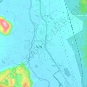
Name: Phonepheng topographic map, elevation, terrain.
Location: Phonepheng, ວັງວຽງ, Province de Vientiane, 30600, Laos (18.90071 102.43011 18.94071 102.47011)
Average elevation: 255 m
Minimum elevation: 222 m
Maximum elevation: 553 m
Other topographic maps
Click on a map to view its topography, its elevation and its terrain.
ວັງວຽງ
Laos > Province de Vientiane > ວັງວຽງ
ວັງວຽງ, Province de Vientiane, 00008, Laos
Average elevation: 308 m