
Avalahalli State Forest topographic map
Interactive map
Click on the map to display elevation.
About this map
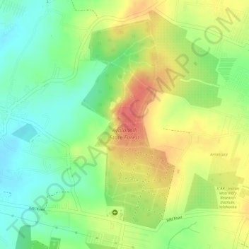
Name: Avalahalli State Forest topographic map, elevation, terrain.
Average elevation: 915 m
Minimum elevation: 882 m
Maximum elevation: 948 m
Other topographic maps
Click on a map to view its topography, its elevation and its terrain.
Attur Lake
India > Karnataka > Yelahanka taluku > Ramagondanahalli
Attur Lake, Atturu, Yelahanka Zone, Ramagondanahalli, Yelahanka taluku, Bangalore Urban, Karnataka, India
Average elevation: 915 m