
Thank you for supporting this site ❤️
Make a donation
Make a donation
Waverly topographic map
Click on the map to display elevation.
Thank you for supporting this site ❤️
Make a donation
Make a donation
About this map
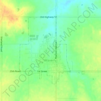
Name: Waverly topographic map, elevation, terrain.
Location: Waverly, Coffey County, Kansas, United States (38.38712 -95.61267 38.40488 -95.59039)
Average elevation: 344 m
Minimum elevation: 329 m
Maximum elevation: 362 m
Thank you for supporting this site ❤️
Make a donation
Make a donation