
河套 topographic map
Interactive map
Click on the map to display elevation.
About this map
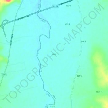
Name: 河套 topographic map, elevation, terrain.
Location: 河套, 永吉县, 吉林市, 吉林省, 中国 (43.59720 125.86979 43.63720 125.90979)
Average elevation: 207 m
Minimum elevation: 197 m
Maximum elevation: 254 m
Other topographic maps
Click on a map to view its topography, its elevation and its terrain.