
Landeros topographic map
Interactive map
Click on the map to display elevation.
About this map
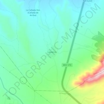
Name: Landeros topographic map, elevation, terrain.
Location: Landeros, Ramos Arizpe, Coahuila, México (25.48400 -100.89823 25.52400 -100.85823)
Average elevation: 1,543 m
Minimum elevation: 1,457 m
Maximum elevation: 1,800 m