
Lichtervelde topographic map
Interactive map
Click on the map to display elevation.
About this map
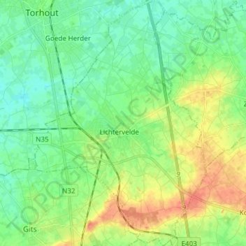
Name: Lichtervelde topographic map, elevation, terrain.
Location: Lichtervelde, Roeselare, Westflandern, Flandern, 8810, Belgien (50.99159 3.09764 51.06883 3.18362)
Average elevation: 25 m
Minimum elevation: 10 m
Maximum elevation: 50 m