
پنو topographic map
Interactive map
Click on the map to display elevation.
About this map
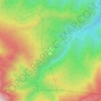
Name: پنو topographic map, elevation, terrain.
Location: پنو, بخش اطاقور, Langarud County, Gilan Province, Iran (37.02126 49.98682 37.06126 50.02682)
Average elevation: 657 m
Minimum elevation: 199 m
Maximum elevation: 1,243 m