
Pelham topographic map
Interactive map
Click on the map to display elevation.
About this map
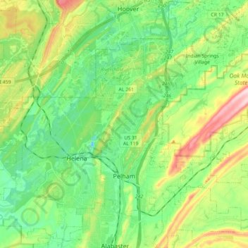
Name: Pelham topographic map, elevation, terrain.
Location: Pelham, Shelby County, Alabama, 35124, United States (33.24240 -86.83617 33.39032 -86.66613)
Average elevation: 173 m
Minimum elevation: 92 m
Maximum elevation: 378 m