
Ginnerup topographic map
Interactive map
Click on the map to display elevation.
About this map
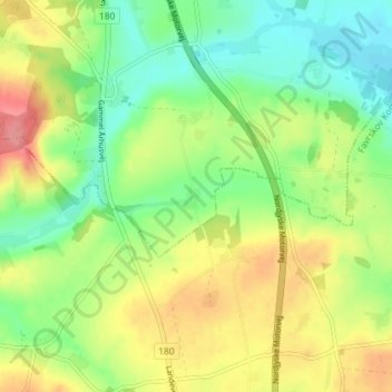
Name: Ginnerup topographic map, elevation, terrain.
Location: Ginnerup, Randers, Randers Kommune, Dänemark (56.35736 10.08190 56.39736 10.12190)
Average elevation: 43 m
Minimum elevation: 5 m
Maximum elevation: 95 m