
Thank you for supporting this site ❤️
Make a donation
Make a donation
Kopiat Island topographic map
Click on the map to display elevation.
Thank you for supporting this site ❤️
Make a donation
Make a donation
About this map
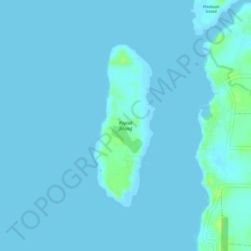
Name: Kopiat Island topographic map, elevation, terrain.
Location: Kopiat Island, Mabini, Davao de Oro, Davao Region, Philippines (7.26862 125.82855 7.28608 125.83519)
Average elevation: 2 m
Minimum elevation: -1 m
Maximum elevation: 13 m
Thank you for supporting this site ❤️
Make a donation
Make a donation
Other topographic maps
Click on a map to view its topography, its elevation and its terrain.