
Thank you for supporting this site ❤️
Make a donation
Make a donation
Bartlett topographic map
Click on the map to display elevation.
Thank you for supporting this site ❤️
Make a donation
Make a donation
About this map
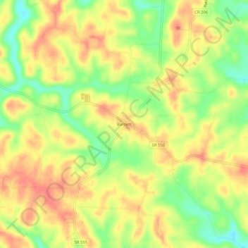
Name: Bartlett topographic map, elevation, terrain.
Location: Bartlett, Washington County, Ohio, 45713, United States (39.39952 -81.83569 39.43952 -81.79569)
Average elevation: 263 m
Minimum elevation: 227 m
Maximum elevation: 288 m
Thank you for supporting this site ❤️
Make a donation
Make a donation