
Thank you for supporting this site ❤️
Make a donation
Make a donation
Qarhat topographic map
Click on the map to display elevation.
Thank you for supporting this site ❤️
Make a donation
Make a donation
About this map
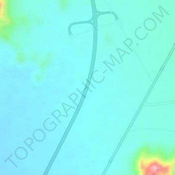
Name: Qarhat topographic map, elevation, terrain.
Location: Qarhat, Al Buraymi Governorate, Oman (24.44995 55.96994 24.46995 55.98994)
Average elevation: 466 m
Minimum elevation: 441 m
Maximum elevation: 625 m
Thank you for supporting this site ❤️
Make a donation
Make a donation