
Pipla (Kewalram) topographic map
Interactive map
Click on the map to display elevation.
About this map
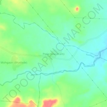
Name: Pipla (Kewalram) topographic map, elevation, terrain.
Location: Pipla (Kewalram), Narkhed, Nagpur, Maharashtra, India (21.37928 78.72369 21.41928 78.76369)
Average elevation: 388 m
Minimum elevation: 368 m
Maximum elevation: 431 m